Trefferliste "Travel Guides: Routes And Ways" - alle Bücher
Ihre Suche nach dem Thema "Travel Guides: Routes And Ways" in Bücher ergab 10 Treffer.
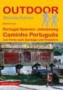
Raimund Joos
Portugal Spanien: Jakobsweg Caminho Português
,
sofort lieferbar
Buch
Aktueller Preis: EUR 17,90
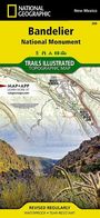
National Geographic Maps
Bandelier National Monument Map
lieferbar innerhalb 2-3 Wochen
Karten
Aktueller Preis: EUR 14,96
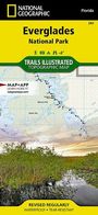
National Geographic Maps
Everglades National Park Map
lieferbar innerhalb 1-2 Wochen
Karten
Aktueller Preis: EUR 14,96
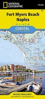
National Geographic Maps
Fort Myers Beach, Naples Map
lieferbar innerhalb 2-3 Wochen
Karten
Aktueller Preis: EUR 14,96
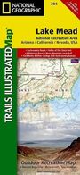
National Geographic Maps
Lake Mead National Recreation Area Map
lieferbar innerhalb 2-3 Wochen
Karten
Aktueller Preis: EUR 14,96
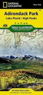
National Geographic Maps
Lake Placid, High Peaks: Adirondack Park Map
lieferbar innerhalb 1-2 Wochen
Karten
Aktueller Preis: EUR 14,96
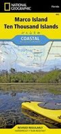
National Geographic Maps
Marco Island, Ten Thousand Islands Map
lieferbar innerhalb 1-2 Wochen
Karten
Aktueller Preis: EUR 14,96
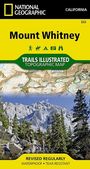
National Geographic Maps
Mount Whitney Map
lieferbar innerhalb 2-3 Wochen
Karten
Aktueller Preis: EUR 11,95
National Geographic Maps
Old Forge, Oswegatchie: Adirondack Park Map
lieferbar innerhalb 2-3 Wochen
Karten
Aktueller Preis: EUR 14,96
Informationen zur Lieferbarkeit bzw. zu Veröffentlichungsterminen von Artikeln beruhen auf Vorabinformationen unserer Lieferanten. Diese Termine sind ohne Gewähr und können sich jederzeit ändern.